Arcpy and Model Builder as frontlines of GIS automation
Performing GEOSPATIAL Analysis using Arcpy
Tech Stack:
Python(Arcpy)
Affiliation:
Fiverr
Site:
Pakistan
Tech Stack:
Python(Arcpy)
Affiliation:
Fiverr
Site:
Pakistan
Project Description:
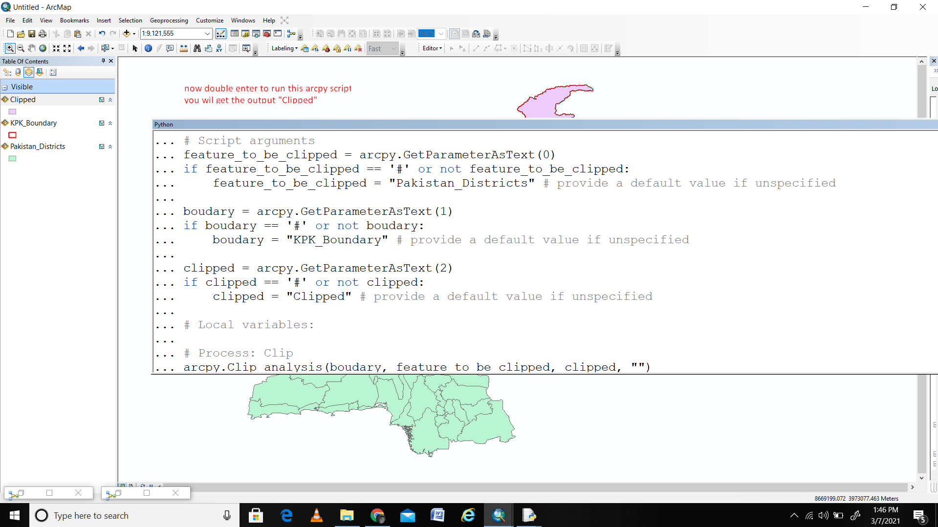
In my project, I leveraged ArcPy's automation capabilities to streamline a complex geospatial analysis workflow. Initially, I identified repetitive tasks within the GIS project, such as data processing, analysis, and map production. Using ArcPy, I scripted a series of automated processes, creating custom tools to execute these tasks efficiently. This included batch processing data inputs, performing spatial analyses, and generating thematic maps based on specific criteria. The automation significantly reduced manual intervention, accelerating project timelines and ensuring consistency in results. By leveraging ArcPy's scripting capabilities, I tailored the automation to meet project requirements, enabling seamless execution of routine tasks while allowing flexibility for adjustments and updates. This approach not only optimized productivity but also allowed for scalability and repeatability across similar projects or datasets.
Project Link Repo
Please feel free to contact me at my email address or through my LinkedIn Account below.
mhwahla360@gmail.com