Mapping Multan NDVI Timeseries using Google Earth Engine JavaScript API
Using the Google Earth Engine (GEE) JavaScript API to Examine Green Index
Team Members:
Muhammad Hamza
Affiliation:
Personal Project
Team Members:
Muhammad Hamza
Affiliation:
Personal Project
Project Description:
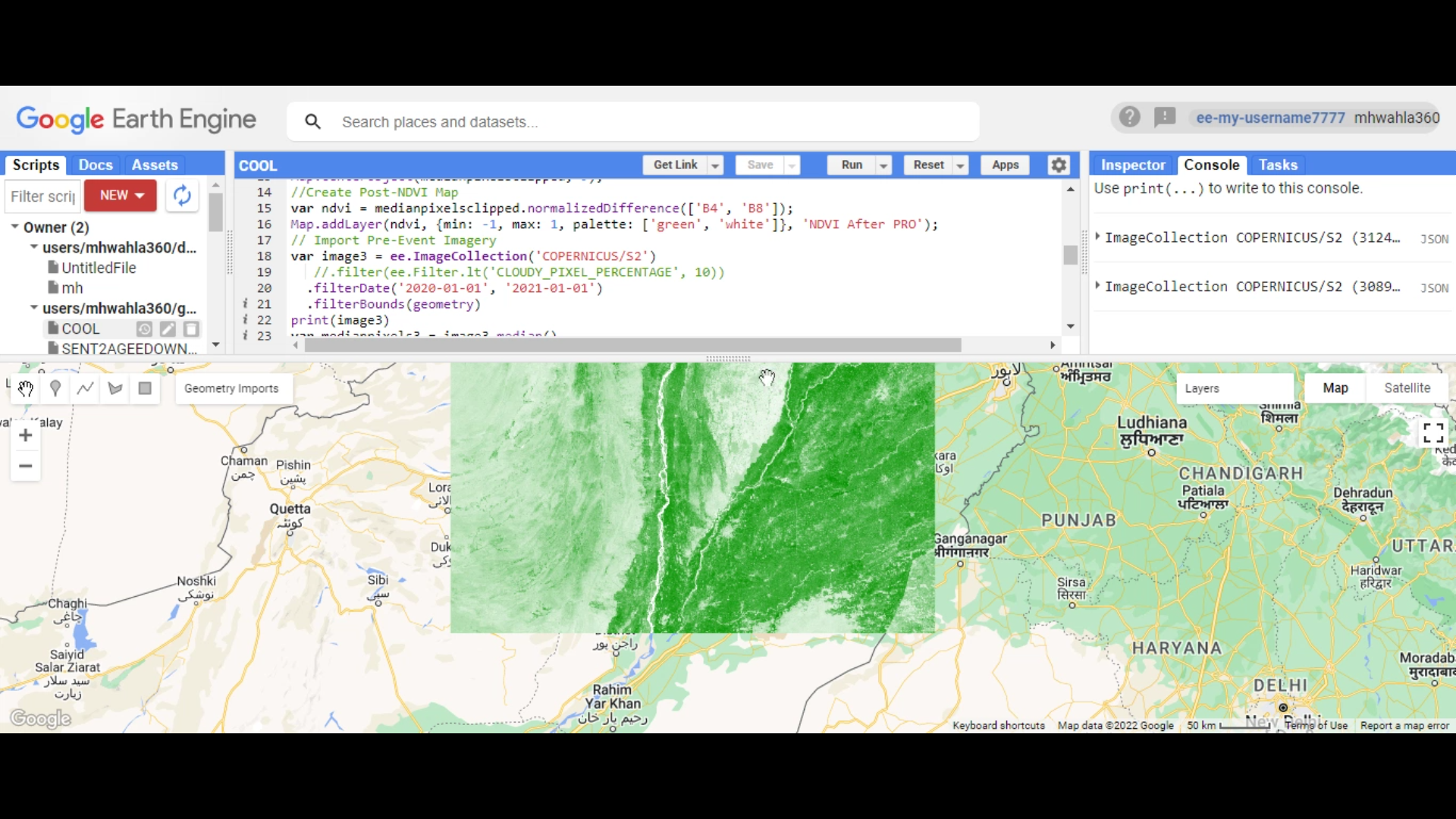
In this project centered on Multan, Punjab Pakistan, Change Detection utilizing Google Earth Engine (GEE) and Sentinel-2 imagery was employed to analyze temporal alterations in the region's land cover and urban development. Accessing Sentinel-2 data via GEE, a multi-temporal dataset spanning several years was acquired and pre-processed for quality assurance. Image stacking techniques facilitated the creation of composite image stacks, enabling direct temporal comparisons. Leveraging change detection algorithms within GEE, variations in land cover, vegetation health, and urban expansion across Multan were examined. Visualization of detected changes provided crucial insights into environmental dynamics, urban growth patterns, and potential land use shifts. This analysis, utilizing the computational prowess of GEE and the rich Sentinel-2 spectral information, serves as a valuable tool for informed decision-making in urban planning, environmental management, and disaster risk assessment in Multan, Punjab Pakistan.
Google Earth Engine Code:
Please feel free to contact me at my email address or through my LinkedIn Account below.
mhwahla360@gmail.com