UTILITY/GEOMTRIC NETWORK IMPLEMENTATION OF UPDM
Preprocessing of data and then building of upstreams and downstreams using Arcgis
Team Members:
Waqas Jutt (Project Lead)
Khurram Khattak
Afsheen Sheikh
Waleed Ahmed
Muhammad Hamza
Fellow/Center Lead:
Naeem Malik
Affiliation:
IGEO
Advisors:
Dr. M Imran
Dr. Fahad Cheema
Site:
Rawalpindi
Team Members:
Waqas Jutt (Project Lead)
Khurram Khattak
Afsheen Sheikh
Waleed Ahmed
Muhammad Hamza
Fellow/Center Lead:
Naeem Malik
Affiliation:
IGEO
Advisors:
Dr. M Imran
Dr. Fahad Cheema
Site:
Rawalpindi
Abstract:
A geometric network project within ArcGIS encompasses the meticulous structuring of interconnected features like roads or utility networks, starting with data modeling to define relationships and attributes. Through ArcGIS tools, the network is constructed, specifying connectivity rules and establishing a comprehensive dataset. Analyses involve tracing paths, assessing flow, and ensuring network integrity, complemented by editing functionalities to modify features while maintaining connectivity. Optimization techniques are employed to enhance network efficiency and performance. Results are visualized via maps and reports, offering insights into network status, potential improvements, and recommendations. This project's significance lies in its application across urban planning, infrastructure management, and utilities, enabling detailed analysis, informed decision-making, and proactive maintenance of intricate networks.
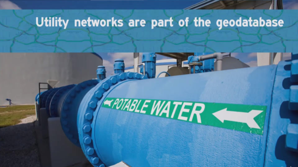
Project Visuals:
Please feel free to contact me at my email address or through my LinkedIn Account below.
mhwahla360@gmail.com